Translate Complex Property Descriptions Into Clear Images With Viza-Audit
Viza-Audit by Vizaline is a quick and inexpensive audit of a property description (metes and bounds) that translates a written legal description into a line drawing overlaid on satellite imagery of the area.
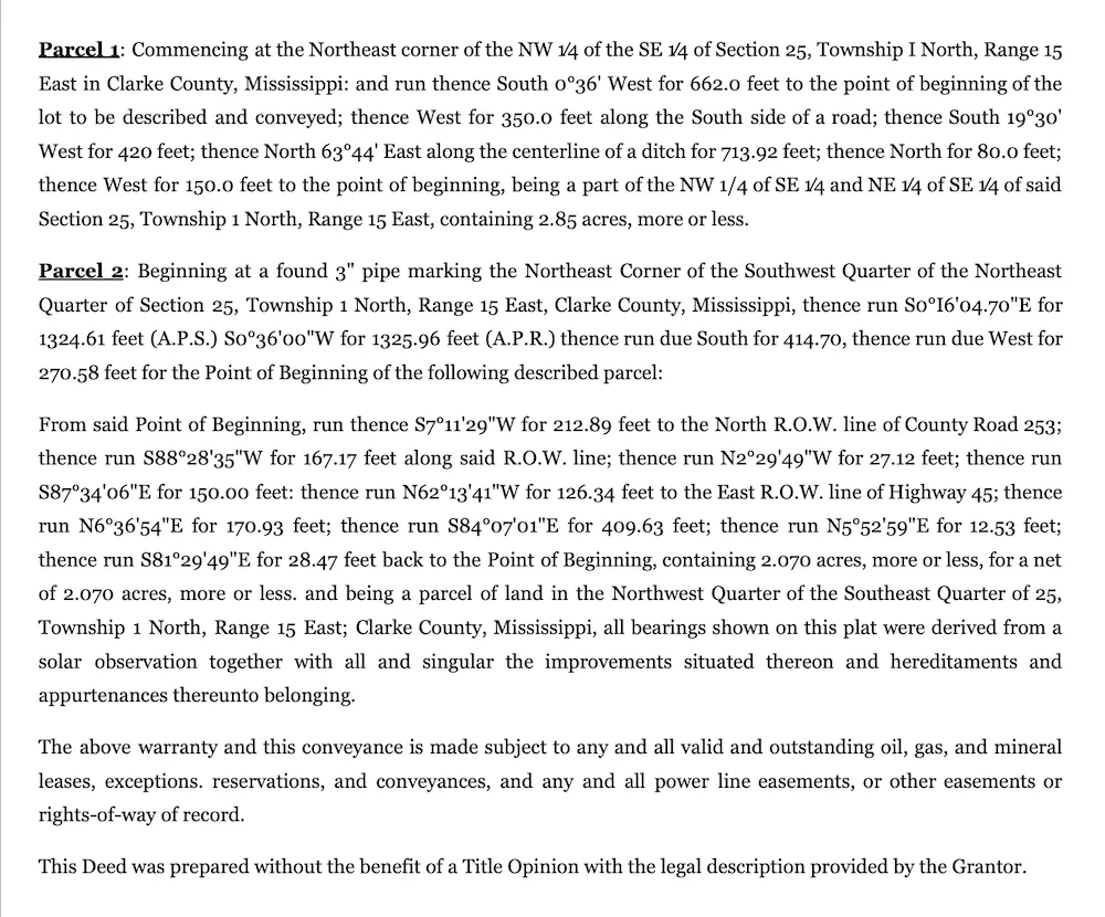
Turn This:
A typical complex technical description of two land parcels. This written description is virtually impossible to visualize, thereby leaving all parties vulnerable to future legal issues.
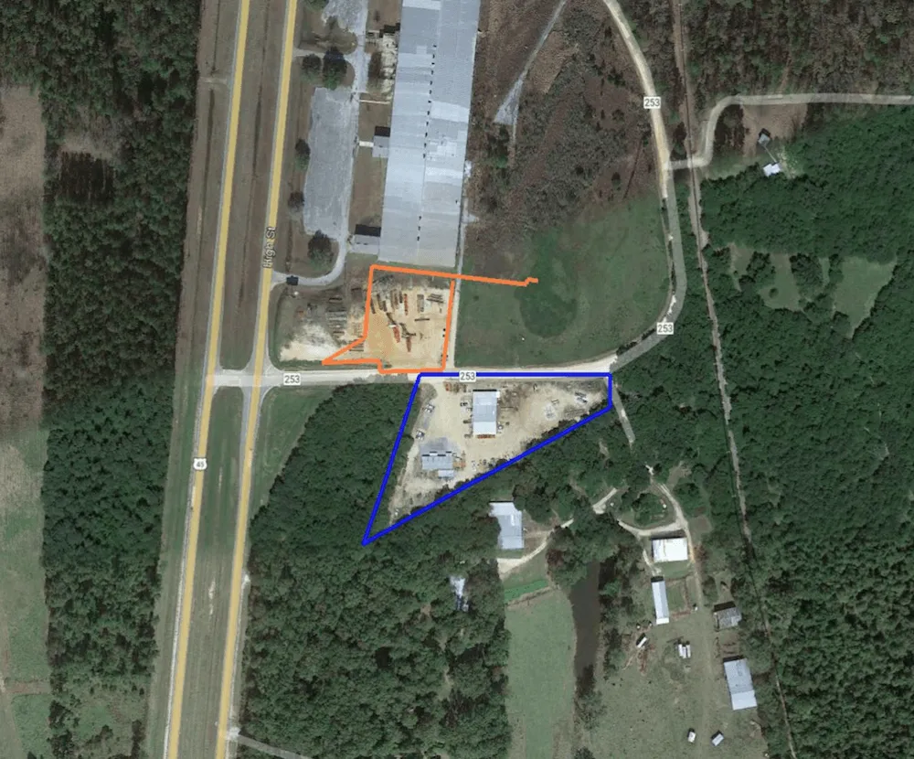
Into This:
An outline of both parcels overlaid on an aerial photo. Note how the Viza-Audit image clearly identifies a boundary closure issue with the Parcel 2 written legal description (orange).
Viza-Audit — The Trusted New Norm in Legal Description Interpretation
$18,750,000 Potential Savings For Banks And Their Customers
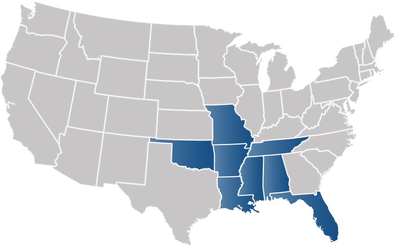
Serving Financial Institutions Throughout the Southeast US
MS • AL • LA • TN • FL • AR • MO • OK
Trusted by These FDIC Insured Institutions

























8 Costly Errors Frequently Revealed By Viza-Audit
Administrative
The bank has the legal description for another loan in the wrong file and plans to record it as collateral.
Address vs Description
The address of the property and the legal description do not agree or the address does not agree with the other documents in the file (appraisal, flood evaluation, title commitment, etc).
Property Access
The ingress/egress is not properly located to allow access to the property.
Improvement Locations
The improvements are not located within the polygon or partially within the polygon.
Boundary Closure
The legal description does not close properly.
Property Location
The property is located differently than the bank thought.
Parcel Release
There are parcel releases that affect the legal description and improvements.
Property Size
The amount of acreage is different than is proposed by the customer.
Hear What Bankers Have to Say About Vizaline's Viza-Audit
DISCLAIMER: This work product represents only generalized locations of features, objects, or boundaries and should not be relied upon as being legally authoritative for the precise location of any feature, object, or boundary.


